Assisting with everything from monitoring environmental changes to supporting agricultural planning and disaster response, earth observation satellites lie silently above us. Gathering and analyzing information about our planet, they have significantly changed how we handle natural resources and make major decisions across several sectors.
Earth observation satellites have acquired increasingly great importance in our data-driven society. They gather data and capture images across several wavelengths, therefore simplifying companies’ grasp of complex ground patterns. Companies like OnGeo Intelligence process this raw data into practical knowledge for consumers in agriculture, urban planning, and environmental protection.
How Earth Observation Works
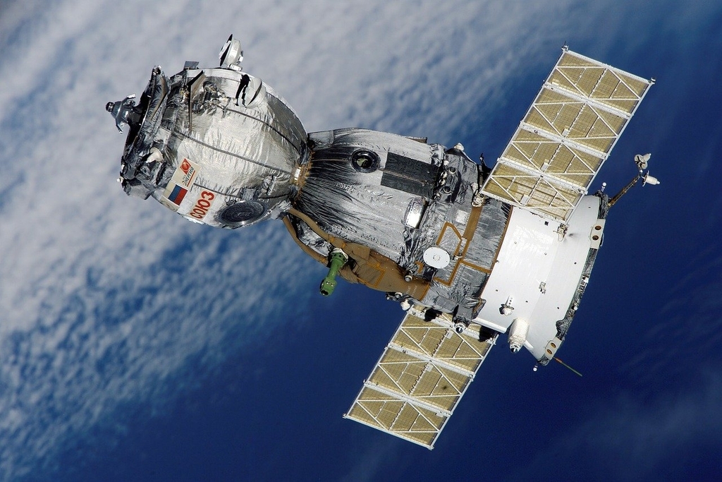
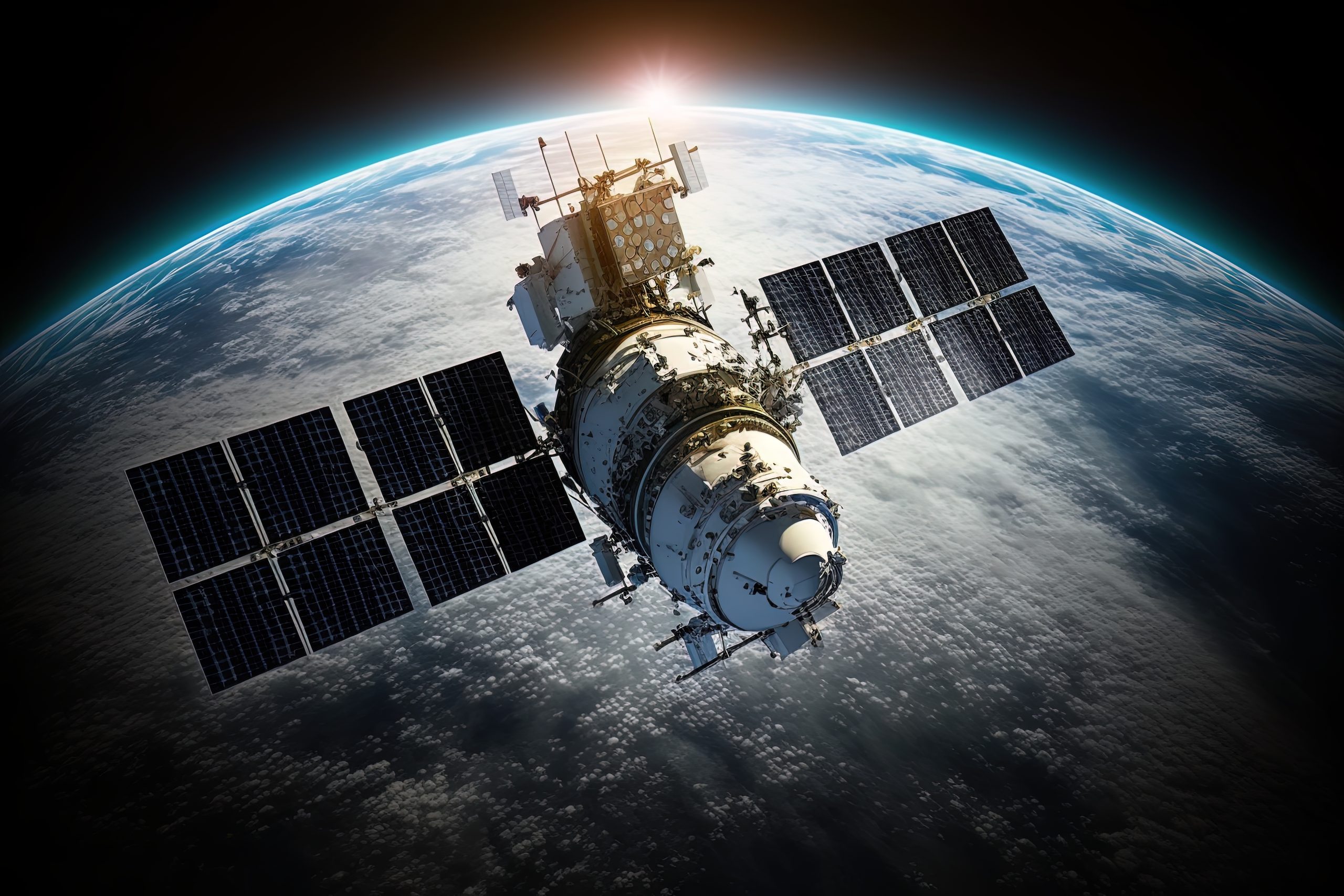
These are satellites with on-board sensors that gather information in the space through optical, radar, thermal or thermal. Using the observed radiations reflected or emitted by the surface of earth, we are able to gain insights about the health of a plant or growth of a city. These satellites are operated in different orbits known as the low Earth orbit (LEO), middle earth orbit (MEO), or geostationary orbit (GEO).
Most high-resolution images derive from LEO, which provides us more and clearer vistas of our planet. Because they often go back to places, satellites in this orbit are ideal for following developments throughout time, like forest clearing or crop growth.
Main Functions of Earth Observation Satellites
Four fields of operation for earth observation satellites are environmental monitoring, disaster relief, resource management, and climate research.
- Environmental Monitoring: The history of changes such as land erosions, forests cover depletion and ocean pollutions can be tracked by using these satellites in framing conservation activities and policy decisions.
- Disaster Management: They help responders to respond quickly and with efficiencies during the occurrence of forests (fires) or when there are floods, etc.
- Agriculture & Resource Planning: Satellites help farmers make more prudent decisions to ensure the most of their crops and decrease waste, as they can monitor the soil moisture and the growth of crops.
Climate Science Climate scientists can monitor changes in greenhouse gases, sea level and temperature with long-term satellite data, which is essential to climatic predictions.
Role of the Earth Observation System
Among the most well-known initiatives in this field is NASA’s EOS or Earth Observing System includes satellites like Terra, Aqua, and Aura. It is a network of ground systems monitoring several Earth elements.
In addition to recording excellent data, these platforms make it accessible in formats suitable for scientists, governments, and general people. Their open access policies have caused their broad usage in industry, humanitarian projects, and research.
Future Trends in Satellite Observation
Miniaturization, automation, and artificial intelligence are altering the future of Earth observation. Quicker and less expensive launches of new missions are made possible with smaller satellites like CubeSats. With AI tools, satellite pictures may be more precisely and rapidly analyzed, reducing human analyst demand for routine checks.
Users are now better able to interact with satellite data thanks to cloud-based platforms; you no longer need to download huge files—just analyze them in the cloud.
Final Thoughts
Earth observation program is now crucial for creating worldwide resilience. Even if you are a non-expert, you can understand planet’s changing conditions and take necessary actions.